Area Description
The area covers the whole Mediterranean Sea and it is characterized by the presence of subduction zone between the African and Euroasian plates. The region is of important to understand the tectonic evolution and to study the actual geological configuration of the crust.
Gravity Data
- Compilation of latest GGMs combined with terrestrial dataset (airborne and shipborne)
- Grids of gravity anomalies and other derived products, derivatives and transforms (e.g. full tensor, THD, Tilt Angle etc.)
- Spatial Resolution: 18 km
Magnetic Data
- Compilation of latest GMMs (WDMAM-2)
- Grid of total magnetic anomaly
- Spatial Resolution: 18 km
Geological Data
- Full 3D geological model in terms of density distribution
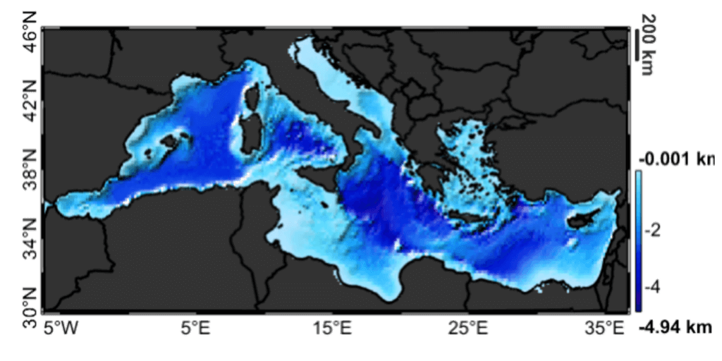
- Regular grids of principal geological horizions (bathymetry, Plio-Quaternary sediments bottom, Pre-Messinian sediments bottom, basement and Moho) build from a compilation of latest available models. ADD REF OUR PAPER.
- Spatial resolution: 18 km
Further Insight
The results of a joint gravity and magnetic constrained Bayesian inversion performed with proprietary software are available. ADD REF.
- Full 3D geological model in terms of density distribution
- Full 3D geological model in terms of magnetic susceptibility
- Regular grids of principal geological horizons
- Spatial resolution: 18 km