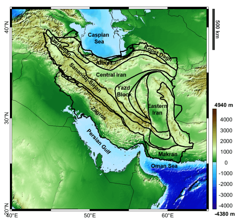
Area Description
The area is related to the part of the Alpine Himalayan orogenic belt in Iran between latitude 25°N and 45°N and longitude 40°E to 65°E.
Gravity Data
- Compilation of latest GGMs
- Grids of gravity anomalies and other derived products, derivatives and transforms (e.g. full tensor, THD, Tilt Angle etc.)
- Spatial Resolution: 7 km
Geological Data
- Full 3D geological model in terms of density distribution
- Regular grids of principal geological horizions (topography, sediments bottom, basement and Moho) build from a compilation of latest available models.
- Spatial resolution: 7 km
Further Insight
The available results of a gravity constrained inversion performed with proprietary software are:
- Regular grid of Moho depth
- Spatial resolution: 7 km
Results have been published in Heydarizadeh Shali, H., Sampietro, D., Safari, A., Capponi, M., & Bahroudi, A. (2020). Fast collocation for Moho estimation from GOCE gravity data: the Iran case study. Geophysical Journal International, 221(1), 651-664.